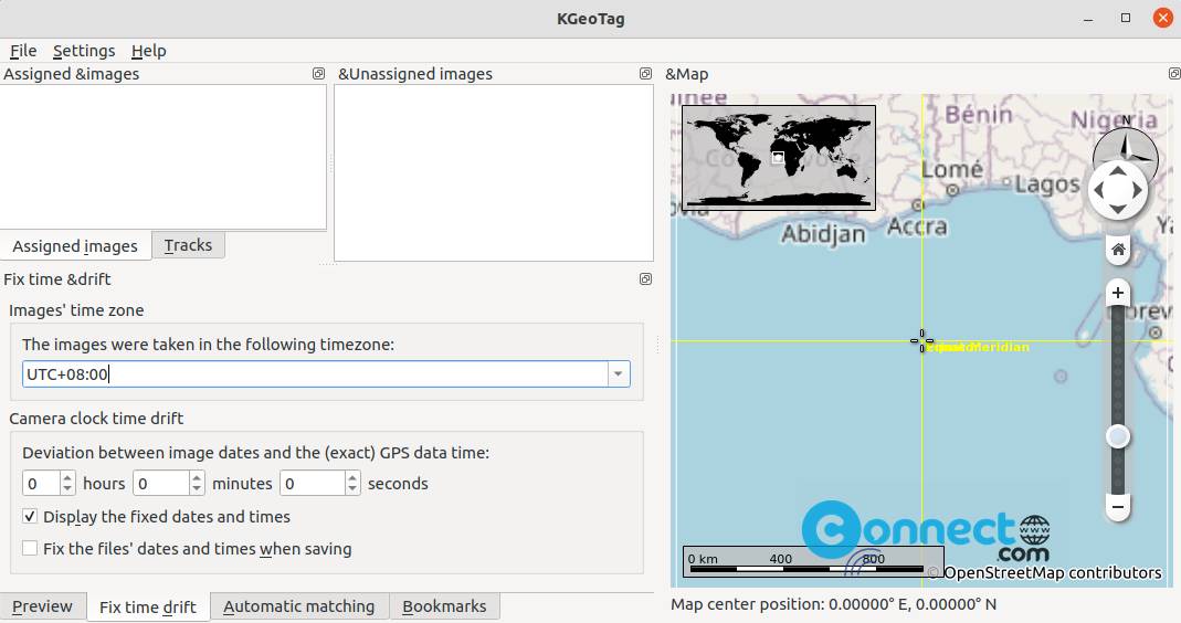
KGeoTag is a free and open source photo geotagging application for Linux. It supports JPEG, PNG, WebP, TIFF, OpenRaster and Krita Document image formats. Using this application you can manually assign coordinates to the images, if you don’t have GPS receivers in your camera. You can can load geodata from GPX files. Some other features are geodata bookmark, automatic geotagging, elevation info setting and more. You can wite coordinates to the image Exif header or XMP sidecar files or both. It is written in C++/Qt and released under GNU General Public License.
Install KGeoTag on Ubuntu Linux
KGeoTag is available as snap and flatpak packages. If you don’t have flatpak in your system then install flatpak and flathub on your system. After the installation restart your system . Now open the command-line terminal application (ctrl+alt+t) and run below KGeoTag flatpak installation command.
flatpak install flathub org.kde.kgeotag
It will install the latest version of KGeoTag on your system. Now open it via below command or you can also open it via the applications menu.
flatpak run org.kde.kgeotag
And uninstall KGeoTag using
sudo flatpak uninstall org.kde.kgeotag
Install KGeoTag via Snap:
In the terminal software run below KGeoTag snap installation command.
sudo snap install kgeotag --candidate
After the installation you can run the app via the applications menu. You can also remove it via below command.
sudo snap remove kgeotag
That’s all