KGeoTag Photo Geotagging Software

  • Post last modified:March 28, 2022
  • Post category:Linux
  • Post author:

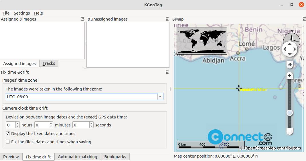
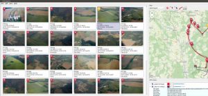
KGeoTag is a free and open source photo geotagging application for Linux. It supports JPEG, PNG, WebP, TIFF, OpenRaster and Krita Document image formats. Using this application you can manually assign coordinates to the images, if you don’t have GPS receivers in your camera. You can can load geodata from GPX files. Some other features are geodata bookmark, automatic geotagging, elevation info setting and more. You can wite coordinates to the image Exif header or XMP sidecar files or both. It is written in C++/Qt and released under GNU General Public License.

KGeoTag photo app

(more…)

Continue ReadingKGeoTag Photo Geotagging Software

Geotagging – Photography Geotagging Application

  • Post last modified:December 1, 2021
  • Post category:Linux
  • Post author:

Geotagging is a free open source Photography Geotagging software for Windows and Linux. Using this app you can synchronize your photos with gps track log (*.gpx) and also adjust GPS coordinates and store them directly into EXIF. You can use this app to get the geographical information stored in JPEG images. It is released under GNU General Public License v3.0.

Geotagging_app

(more…)

Continue ReadingGeotagging – Photography Geotagging Application