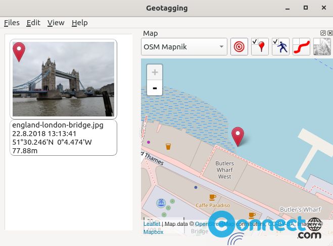
Geotagging is a free open source Photography Geotagging software for Windows and Linux. Using this app you can synchronize your photos with gps track log (*.gpx) and also adjust GPS coordinates and store them directly into EXIF. You can use this app to get the geographical information stored in JPEG images. It is released under GNU General Public License v3.0.
Install Geotagging on Ubuntu Linux
Geotagging is available as a flatpak package from flathub. So first you need to install flatpak and flathub on your system and restart it. After that in the terminal software (ctrl+alt+t) run below Geotagging flatpak installation command. It will install the latest version of Geotagging application on your computer.
flatpak install flathub com.github.jmlich.geotagging
After the Geotagging software installation just run below command to start the application.
flatpak run com.github.jmlich.geotagging
If you don’t like it then uninstall it via below command.
sudo flatpak uninstall com.github.jmlich.geotagging
That’s it.